SATELLITE IMAGERY HEAD-TO-HEAD
Google Earth vs NASA Worldview (2026)
Google Earth and NASA Worldview both show you the planet from space, completely free — and they could hardly be more different. Google Earth is the beautiful archive: the deepest collection of satellite and aerial imagery ever assembled, wrapped in a 3D globe with cities and Street View. NASA Worldview is the live instrument: over a thousand scientific satellite layers refreshed within hours, built for watching fires, storms, ice and oceans change. One shows the world as it was; the other, as it nearly is.
Last reviewed: October 2026 · Sources listed at the bottom of this page
Key differences at a glance
- Interactive 3D globe with 3D citiesGoogle Earth: YesNASA Worldview: NoGoogle Earth's globe, 3D buildings and terrain are the reference; Worldview is a flat map with polar projections
- Street-level imageryGoogle Earth: YesNASA Worldview: NoStreet View is integrated into Google Earth; Worldview has no ground-level imagery
- Near-real-time imagery (hours old)Google Earth: NoNASA Worldview: YesMost Worldview layers update within ~3 hours of observation; Google Earth imagery is archival
- Historical imagery archiveGoogle Earth: YesNASA Worldview: PartialGoogle Earth reaches back decades for many places; some Worldview layers span nearly 30 years
What is Google Earth?
Google Earth is the world's most detailed free virtual globe: high-resolution satellite and aerial imagery, 3D cities and terrain, Street View at ground level, a historical-imagery archive reaching back decades, and tools for measuring, drawing and telling stories with places (including guided Voyager tours and Google Earth Studio for animations). Google Earth Pro — once $399/year — has been free since 2015. Everything in it is archival: the imagery shows the world as it was photographed, not as it is now.
What is NASA Worldview?
NASA Worldview is NASA EOSDIS's free, open-source browser for near-real-time satellite imagery: more than 1,000 global, full-resolution layers — fires, storms, air quality, sea ice, vegetation and more — most updated within about three hours of observation, some spanning nearly 30 years. It adds event pins for cyclones, wildfires and eruptions, time-lapse animation building, layer comparison (swipe and opacity) and downloadable underlying data via NASA's GIBS services. No signup; it runs in the browser.
Google Earth vs NASA Worldview: feature comparison
Verified against official sources. “Not verified” means we couldn’t confirm it — not that it doesn’t exist.
FEATURE TALLY — FROM THE TABLE BELOW
Google Earth
6 yes · 1 partial · 2 no
NASA Worldview
5 yes · 1 partial · 3 no
A count of the rows in the verified table beneath — not a quality rating. The rows themselves, and what each product does best, matter more than the totals.
| Feature | Google Earth | NASA Worldview |
|---|---|---|
| Interactive 3D globe with 3D citiesGoogle Earth's globe, 3D buildings and terrain are the reference; Worldview is a flat map with polar projections | Yes | No |
| Street-level imageryStreet View is integrated into Google Earth; Worldview has no ground-level imagery | Yes | No |
| Near-real-time imagery (hours old)Most Worldview layers update within ~3 hours of observation; Google Earth imagery is archival | No | Yes |
| Historical imagery archiveGoogle Earth reaches back decades for many places; some Worldview layers span nearly 30 years | Yes | Partial |
| Natural-event tracking (fires, storms, eruptions)Worldview pins and tracks active events; Google Earth has no event layer | No | Yes |
| Science data layers and downloadsWorldview offers 1,000+ layers and downloadable NASA data via GIBS; Google Earth is an imagery viewer with import tools | Partial | Yes |
| Guided tours and casual exploringGoogle Earth's Voyager tours and search are built for wandering; Worldview is a working research tool | Yes | No |
| Completely free, no paid tierBoth are free — Google Earth Pro has been free since 2015; Worldview is a NASA public service | Yes | Yes |
| Works in a web browserGoogle Earth runs on the web and in apps; Worldview is browser-based and open source | Yes | Yes |
Pricing: Google Earth vs NASA Worldview
Google Earth pricing
Completely free — Google Earth Pro (once $399/year) has been free since 2015. No paid tiers, no subscriptions; a Google account is optional.
NASA Worldview pricing
Completely free — NASA provides Worldview as a public service through EOSDIS. No paid plans, and no signup is required to browse.
Where Google Earth is stronger
Google Earth is the gold standard for exploring a place: the most detailed 3D cities anywhere, Street View, the deepest historical imagery archive (decades back), powerful measurement and drawing tools, KML/KMZ data import and Earth Studio for cinematic animations — all permanently free. Nobody matches its imagery depth, 3D building coverage and the familiarity billions of users already have.
Where NASA Worldview is stronger
NASA Worldview is an extraordinary free research tool: 1,000+ full-resolution satellite layers, most refreshed within ~3 hours, geostationary imagery in 10-minute increments, event tracking for cyclones, wildfires and eruptions, custom time-lapse animations and comparison tools — open source, backed by NASA's EOSDIS, with the data itself downloadable. For environmental science and disaster analysis, its scientific layer library is unmatched at any price, let alone free.
The verdict
Choose Google Earth if…
Choose Google Earth if you explore places — checking a neighbourhood, a coastline or a construction site, walking streets in 3D, measuring land, or watching a familiar place change across decades of imagery.
Choose NASA Worldview if…
Choose NASA Worldview if you watch systems — tracking a wildfire's spread, a hurricane's approach, sea-ice retreat or air-quality plumes with imagery that is hours old, not years.
Is Google Earth better than NASA Worldview?
They answer different questions. Google Earth is better for places: what does this address, coastline or city look like, in 3D, at street level, and how did it change over the decades? NASA Worldview is better for processes: what is happening across the planet's systems right now — the fire, the storm, the ice edge, the algal bloom. If you only keep one bookmark, keep the one matching your question — researchers keep both, and both are free.
ANOTHER OPTION
Where WorldEye fits
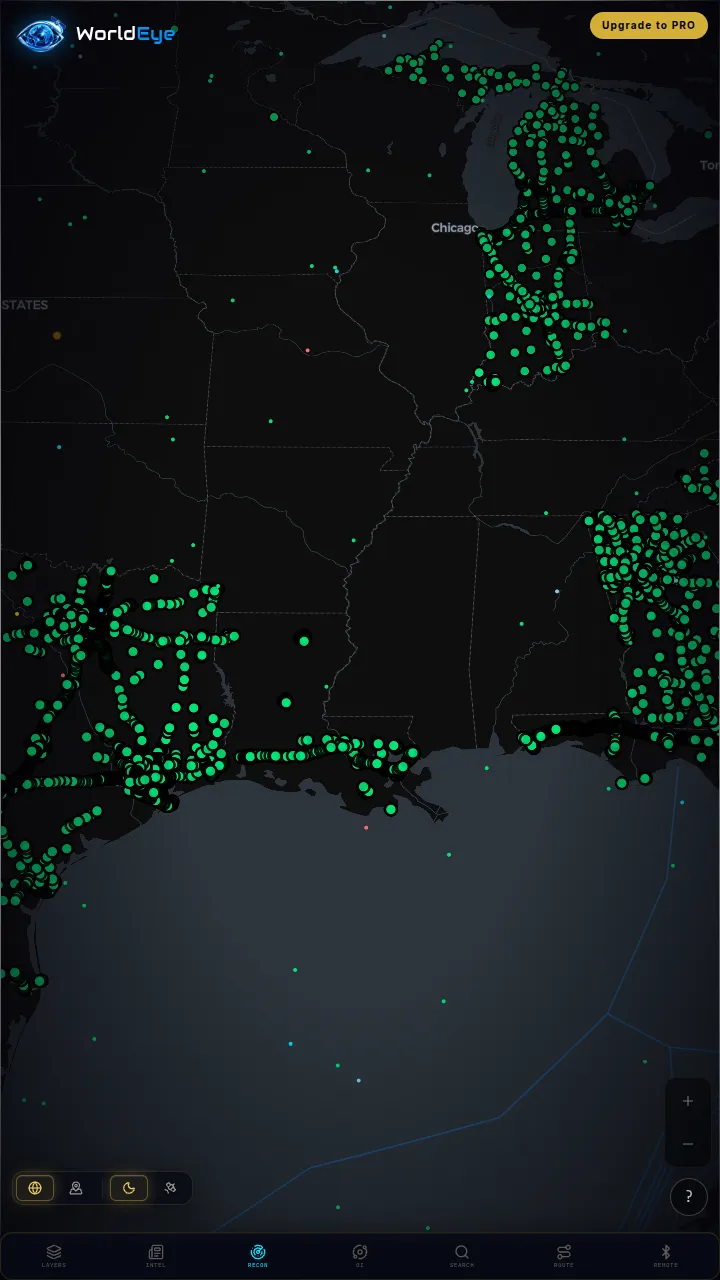
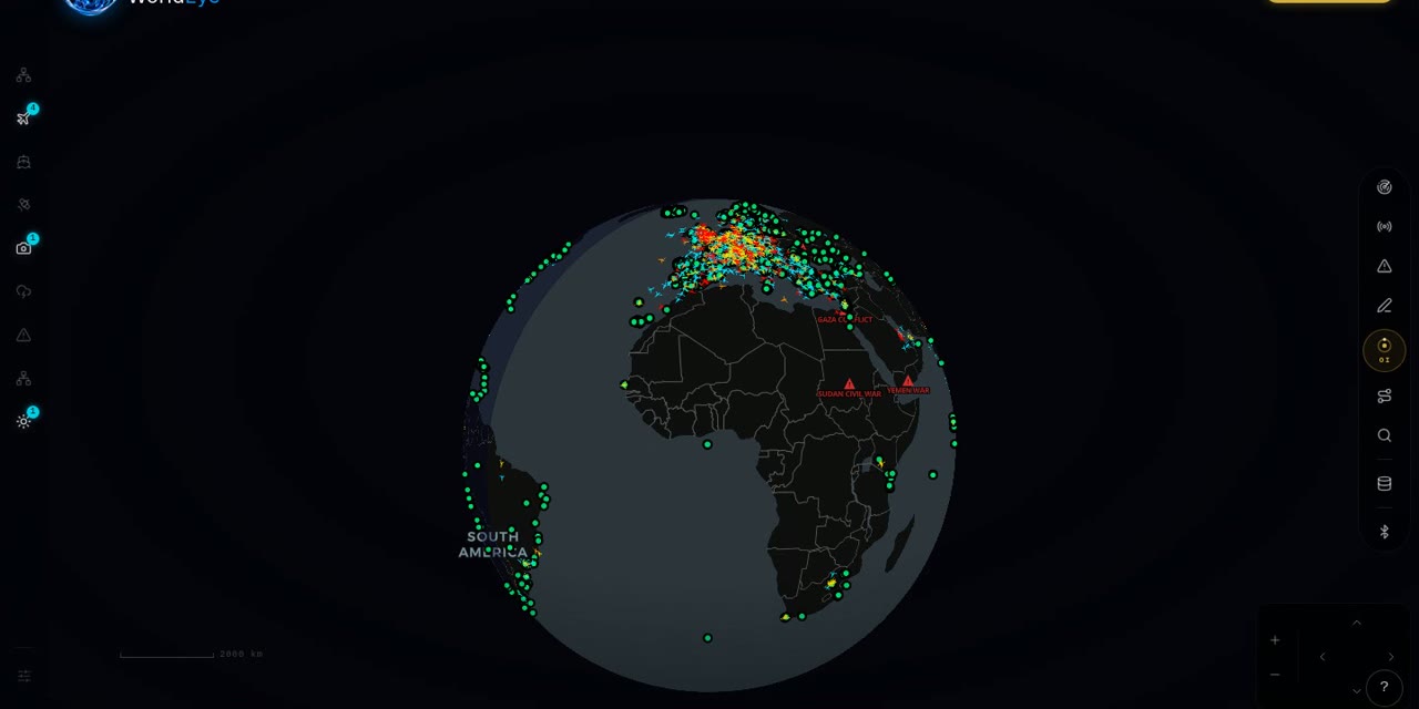
WorldEye takes a third position: a free 3D globe whose satellite view is combined with live data — flights, ships, 74,229 public cameras, weather, earthquakes and wildfires — so you see imagery and activity together, with no signup. Its imagery is neither Google Earth's archive nor NASA's science library, and it doesn't claim to be; it's the live-planet view. An optional Pro tier ($7.99/week, $13.99/month or $74.99/year) adds the OSINT toolkit and intel feeds.
Full WorldEye head-to-heads: WorldEye vs Google Earth · WorldEye vs NASA Worldview
Google Earth vs NASA Worldview: quick answers
Is Google Earth live?
For practical purposes, no. Google Earth's imagery is archival — days to years old depending on the place — assembled for clarity, not freshness. NASA Worldview is the live one: most layers update within about 3 hours of satellite observation.
How many layers does NASA Worldview have?
More than 1,000 global layers — satellite imagery and science products covering fires, storms, air quality, temperature, sea ice, vegetation and hundreds of other variables, many updated near-real-time.
Is Google Earth really free?
Yes — Google Earth is completely free, including Google Earth Pro (which cost $399/year until Google made it free in 2015). A Google account is optional, needed only for saving places and projects.
Which is better in 3D, Google Earth or NASA Worldview?
Google Earth, by a wide margin: its 3D cities, terrain and Street View are the reference implementation. NASA Worldview is a flat map (with polar projections) — its strength is imagery freshness and science layers, not 3D.
Is there a globe with satellite imagery and live data together?
WorldEye combines a satellite imagery view with live data on one free 3D globe — flights, ships, cameras, weather and events — rather than archival imagery alone. For archival depth use Google Earth; for near-live science layers use Worldview.
How we researched this comparison
Every row in the table above was checked against Google Earth’s and NASA Worldview’s official sites, documentation or published pricing — the sources are listed at the bottom of this page, and the comparison was last reviewed in October 2026. Where a capability couldn’t be confirmed from an official source, it is marked “Not verified” rather than guessed.
This page is published by WorldEye, so the head-to-head above is kept deliberately neutral: each product’s strengths are stated in its own terms, and WorldEye appears only in the labelled “another option” section. WorldEye’s own figures there are counted, not estimated — 74,229 public cameras in its live directory across 105 countries, and a free map (flights, satellites, ships, weather, earthquakes, wildfires, cameras and satellite imagery) with an optional Pro tier at $7.99/week, $13.99/month or $74.99/year.
Products change. If you spot a row that has gone stale, the sources below show exactly what each claim rests on.