SATELLITE TRACKING HEAD-TO-HEAD
N2YO vs Heavens-Above (2026)
N2YO and Heavens-Above are the two classic satellite-watching sites, bookmarked by a generation of ISS spotters — and they start from opposite ends of the same question. N2YO starts with the orbit: live TLE-based positions on tracking maps, a large satellite catalogue and a documented API. Heavens-Above starts with your backyard: precise, location-based predictions of which passes you can actually see, how bright they will be, and where in the sky to look, complete with star charts. Both are free; neither requires an account to do its main job.
N2YO watches the orbit; Heavens-Above watches your sky. N2YO is the tracker — live positions, catalogue and API. Heavens-Above is the observer's almanac — whether a pass is visible, how bright, and where to look. Most serious satellite watchers end up using both, for different moments.
Last reviewed: October 2026 · Sources listed at the bottom of this page
Quick facts
| N2YO | Heavens-Above | |
|---|---|---|
| Model | Live tracking site with maps, catalogue and API | Visibility-prediction site with pass tables and star charts |
| Maker | Not named on its official pages in the sources checked | Heavens-Above GmbH |
| Runs on | Web — 2D tracking maps and tables | Web, plus a free official Android app; no iOS app linked |
| Free tier | Full site free, supported by advertising | Predictions free with no paywall found; login optional |
| Paid tier | Free with ads; API access with an API key (check its API page for current terms) | No price published on its official pages; Pro Android app exists, exact price unverified |
| Best at | Live positions for a large satellite catalogue | Visible passes from your exact location, with brightness |
Key differences at a glance
- Live satellite tracking mapN2YO: YesHeavens-Above: PartialN2YO is built around live TLE-based tracking maps; Heavens-Above shows the current ISS position and a live sky chart rather than a global live tracking map
- Visible-pass detail: brightness and star chart per passN2YO: Not verifiedHeavens-Above: YesHeavens-Above lists brightness/magnitude with start, highest-point and end altitude-azimuth times and a star chart per ISS pass; an equivalent per-pass star chart was not confirmed for N2YO from the sources checked
- API accessN2YO: YesHeavens-Above: Not verifiedN2YO documents an API for positions and pass predictions; no API was documented on the Heavens-Above homepage, FAQ or privacy pages checked
- Amateur-radio satellite passesN2YO: Not verifiedHeavens-Above: YesHeavens-Above lists amateur-radio satellite passes, with uplink/downlink information in its app; an equivalent N2YO radio-pass feature was not confirmed from the sources checked
What is N2YO?
N2YO is a satellite-tracking website: ISS and satellite positions calculated from TLE data, displayed on tracking maps with tables, pass predictions for your location, a large satellite catalogue with categories and technical details, and a documented API for developers. It tracks objects in orbit only — no flights, ships, cameras or weather. It is free to use, supported by advertising, and its API is offered with an API key. For satellite spotters and amateur-radio users planning around a specific object or pass, it has long been one of the default bookmarks.
What is Heavens-Above?
Heavens-Above, run by Heavens-Above GmbH, is a satellite-visibility prediction website organised around your location. It publishes 10-day predictions for satellites of special interest — individually listed objects including the ISS, CSS (Tianhe), HST and others — with visible-pass tables giving brightness (magnitude), start, highest-point and end times in altitude and azimuth, plus a star chart for each pass. It adds daily predictions for brighter satellites, Starlink pass predictions, a satellite database, amateur-radio satellite passes, a live sky chart, a current ISS position, and an interactive 3D visualisation of the ISS. Login is explicitly optional — the site works for an anonymous user — and no paywall was found on the pages checked. Its official Android app is free with ads, with a Pro app to remove them. It offers no webcams, flights or ships.
N2YO vs Heavens-Above: feature comparison
Verified against official sources. “Not verified” means we couldn’t confirm it — not that it doesn’t exist.
FEATURE TALLY — FROM THE TABLE BELOW
N2YO
5 yes · 1 partial · 3 no · 5 not verified
Heavens-Above
8 yes · 2 partial · 2 no · 2 not verified
A count of the rows in the verified table beneath — not a quality rating. The rows themselves, and what each product does best, matter more than the totals.
| Feature | N2YO | Heavens-Above |
|---|---|---|
| Live satellite tracking mapN2YO is built around live TLE-based tracking maps; Heavens-Above shows the current ISS position and a live sky chart rather than a global live tracking map | Yes | Partial |
| Pass predictions for your locationBoth calculate passes for a location: N2YO offers pass predictions, Heavens-Above publishes 10-day predictions for satellites of special interest | Yes | Yes |
| Visible-pass detail: brightness and star chart per passHeavens-Above lists brightness/magnitude with start, highest-point and end altitude-azimuth times and a star chart per ISS pass; an equivalent per-pass star chart was not confirmed for N2YO from the sources checked | Not verified | Yes |
| Satellite catalogue and databaseN2YO maintains a large satellite catalogue with categories; Heavens-Above maintains a satellite database alongside its predictions | Yes | Yes |
| API accessN2YO documents an API for positions and pass predictions; no API was documented on the Heavens-Above homepage, FAQ or privacy pages checked | Yes | Not verified |
| Amateur-radio satellite passesHeavens-Above lists amateur-radio satellite passes, with uplink/downlink information in its app; an equivalent N2YO radio-pass feature was not confirmed from the sources checked | Not verified | Yes |
| Interactive ISS 3D visualisationHeavens-Above offers a WebGL interactive 3D ISS visualisation with rotating solar panels and an inset whole-Earth view; N2YO uses 2D maps and tables | No | Yes |
| Live sky chartHeavens-Above provides a live sky view and interactive sky chart; an equivalent sky-chart feature was not confirmed for N2YO from the sources checked | Not verified | Yes |
| Free with no signup requiredN2YO is free to use with advertising; Heavens-Above labels login as optional and works for an anonymous user | Yes | Yes |
| Native Android appHeavens-Above publishes a free Android app, linked from its homepage; dedicated N2YO apps are unverified from official sources | Not verified | Yes |
| Native iOS appNo native iOS app could be confirmed for either from the official pages checked — Heavens-Above links only its Android app | Not verified | Not verified |
| Pass alerts and notificationsN2YO: pass predictions and satellite-pass alert options, detail varies. Heavens-Above app: tracker and calendar integration are listed among its features | Partial | Partial |
| Live public camerasNeither is a camera network — both deal in orbital positions and predictions | No | No |
| Live flights, ships and weatherNeither tracks aircraft or vessels or publishes weather maps; both are satellite-watching sites only | No | No |
Pricing: N2YO vs Heavens-Above
N2YO pricing
Free to use, supported by advertising. API access is offered with an API key; current API limits and any paid terms should be checked on the official N2YO API page, as they can change.
Heavens-Above pricing
No price is published on its official pages: predictions were accessible with no payment and no paywall on the pages checked, and no subscription, price or checkout was published there — a formal website price is therefore unverified, best phrased as no price published on its official pages. The official Android app is free ($0 on Google Play) with advertisements; a Heavens-Above Pro app exists to remove the adverts, but its exact price is unverified and is not published here.
N2YO: pros and cons
- Live TLE-based tracking maps for a large satellite catalogue
- Documented API for positions and pass predictions
- Pass predictions calculated for your location
- Satellite categories and technical details for research
- Free to use with no signup required
- Satellites only — no weather, cameras, flights or ships
- 2D tracking maps and tables, not a 3D globe
- No satellite imagery — positions from TLE data, not pictures
- Free tier carries advertising
- Dedicated mobile apps are unverified from official sources
Heavens-Above: pros and cons
- 10-day visible-pass predictions for ISS, CSS, HST and more
- Per-pass brightness, altitude-azimuth times and star charts
- Daily brighter-satellite and Starlink pass predictions
- No account needed — login is explicitly optional, anonymous use works
- Live sky chart and an interactive 3D ISS visualisation
- No API was documented on the official pages checked
- No iOS app is linked from its homepage — Android only
- Website is a prediction service, not a live global tracking map
- No price is published on its official pages; the Pro app price is unverified
- Satellites and sky only — no cameras, flights, ships or weather maps
The verdict
Choose N2YO if…
Choose N2YO if you want to follow satellites on a map or in code — live TLE-based positions, a deep catalogue, pass predictions and a documented API, free with ads.
Choose Heavens-Above if…
Choose Heavens-Above if your question is 'what can I see tonight, and when?' — 10-day visible-pass tables with brightness and star charts for your exact location, no account needed.
Is N2YO better than Heavens-Above?
They answer different questions. N2YO answers 'where is it now, and where is it going?' — a live TLE-based tracking map, a deep satellite catalogue and an API for developers and radio users. Heavens-Above answers 'when can I see it from here?' — 10-day visible-pass predictions for your exact location, with brightness, altitude-azimuth times and a star chart for each pass. If you follow satellites on a screen or in code, use N2YO; if you go outside and look up, check Heavens-Above first.
ANOTHER OPTION
Where WorldEye fits
Both sites look only at orbit — neither shows you the ground the satellites are passing over. WorldEye is the ground-level complement: a hosted 3D globe that opens free in any browser with no signup — 74,229 public cameras across 105 countries, with live satellites in the same view as flights, ships, weather, earthquakes and wildfires. It does not match N2YO's catalogue or API, or Heavens-Above's per-pass brightness tables and star charts, and it makes no such claim. Its Pro tier is $7.99/week, $13.99/month or $74.99/year for viewers who want more of the globe.
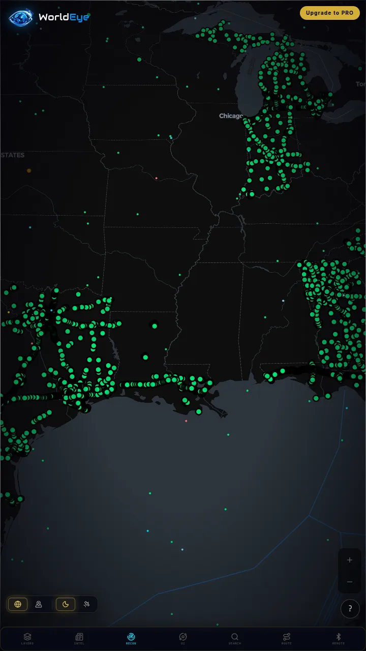
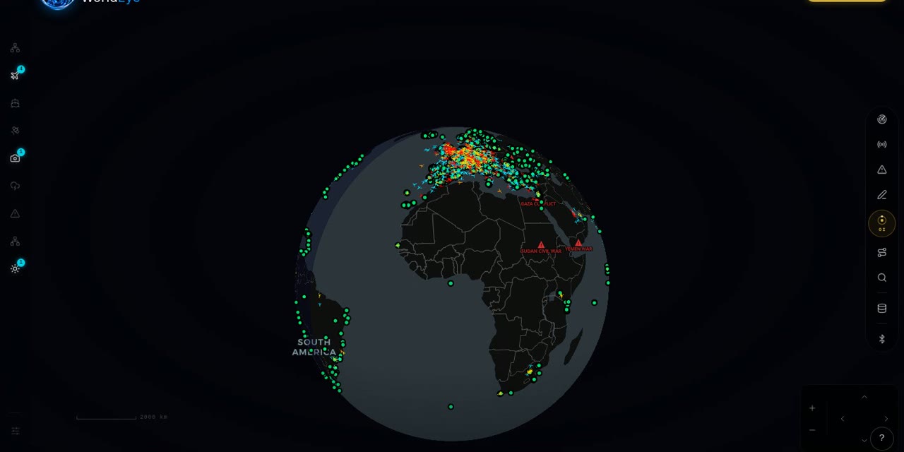
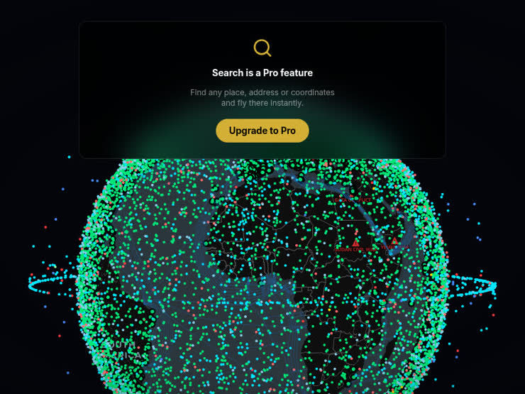
Live on WorldEye right now
Real cameras from WorldEye's live catalogue — no account, no install. Tap any frame to open that exact camera on the globe.
Full WorldEye head-to-heads: WorldEye vs N2YO
N2YO vs Heavens-Above: quick answers
What is the main difference between N2YO and Heavens-Above?
N2YO centres on live tracking: TLE-based positions on maps, a large satellite catalogue and an API. Heavens-Above centres on visibility: 10-day predictions for your location showing whether a pass will be visible, how bright it will be, and where to look, with a star chart per pass. Both predict passes; each is built around a different half of the hobby.
Which is better for seeing the ISS with the naked eye?
Heavens-Above. Its ISS visible-pass tables give brightness (magnitude) and start, highest-point and end times in altitude and azimuth for your location, with a star chart for each individual pass — exactly what you need standing outside. N2YO also calculates pass predictions for your location, but its strength is tracking and catalogue depth rather than per-pass viewing charts.
Which has an API, N2YO or Heavens-Above?
N2YO. It offers a documented API for satellite positions and pass predictions, issued with an API key. No API or bulk data download was documented on the Heavens-Above homepage, FAQ or privacy pages checked — it is a prediction service, not a published data feed.
Is Heavens-Above free?
Its predictions were accessible with no payment and no paywall on the pages checked, and login is labelled optional — anonymous use works. No subscription, price or checkout is published on its official pages checked, so a formal website price is unverified; the accurate summary is that no price is published on its official pages. Its Android app is free with ads, and a Pro app exists to remove the ads, but its exact price is unverified.
Is N2YO free?
Yes. N2YO describes itself as free to use, supported by advertising. API access is offered with an API key; current API limits and any paid terms should be checked on the official N2YO API page, as they can change.
Do either of them show live cameras or satellite imagery?
Neither. N2YO tracks satellite positions from TLE data and Heavens-Above predicts satellite visibility — orbital data, not images of the Earth, and neither lists webcams, flights or ships. For live ground cameras you need a camera platform such as WorldEye; for satellite imagery you need an Earth-observation platform such as Sentinel Hub.
How we researched this comparison
Every row in the table above was checked against N2YO’s and Heavens-Above’s official sites, documentation or published pricing — the sources are listed at the bottom of this page, and the comparison was last reviewed in October 2026. Where a capability couldn’t be confirmed from an official source, it is marked “Not verified” rather than guessed.
This page is published by WorldEye, so the head-to-head above is kept deliberately neutral: each product’s strengths are stated in its own terms, and WorldEye appears only in the labelled “another option” section. WorldEye’s own figures there are counted, not estimated — 74,229 public cameras in its live directory across 105 countries, and a free map (flights, satellites, ships, weather, earthquakes, wildfires, cameras and satellite imagery) with an optional Pro tier at $7.99/week, $13.99/month or $74.99/year.
Products change. If you spot a row that has gone stale, the sources below show exactly what each claim rests on.