LIVE WORLD MAPS HEAD-TO-HEAD
Argos Atlas vs Zoom Earth (2026)
Argos Atlas and Zoom Earth both call themselves live world maps — and they watch completely different worlds. Argos Atlas is a hosted live atlas built around the ground: a flat map claiming 200,000+ public cameras, with live flights, ships, frontlines, verified events and prediction markets layered around them, free with a free account. Zoom Earth, by Neave Interactive, is a free weather specialist built around the sky: live satellite imagery every 10 minutes, rain radar, forecast maps and a best-in-class hurricane tracker. One monitors everything that moves; the other watches the weather above it.
Argos Atlas is the ground truth attempt — a hosted camera-first atlas for everything moving on the surface. Zoom Earth is the sky specialist — a free weather map for everything moving above it. For storms, Zoom Earth goes deeper; for the world the storm is hitting, Argos goes wider.
Last reviewed: October 2026 · Sources listed at the bottom of this page
Quick facts
| Argos Atlas | Zoom Earth | |
|---|---|---|
| Model | Hosted website — free with a free account | Free weather map — web, iOS and Android |
| Maker | Not named on its official pages | Neave Interactive Limited |
| Runs on | Any modern browser, nothing to install | Web, iPhone/iPad and Android apps |
| Free tier | The full live map, with ads and camera limits | The full weather map — Pro adds extra features |
| Paid tier | ARGOS PRO — €15.99/mo list (OUTPOST) up to €1,049.99/mo (AGENCY) | Zoom Earth Pro — $1.99 and $11.99 listed (billing period unverified) |
| Headline claim | 200,000+ public cameras in 190+ countries (claimed) | No cameras — live satellite imagery every 10 minutes |
Key differences at a glance
- Live public camerasArgos Atlas: YesZoom Earth: NoArgos claims 200,000+ public cameras from official portals; Zoom Earth is a weather/satellite tool with no camera network
- Near-real-time satellite imageryArgos Atlas: PartialZoom Earth: YesZoom Earth's core: geostationary imagery every 10 minutes (GOES, Himawari, Meteosat) plus HD passes twice a day; Argos offers satellite basemaps under its live layers
- Rain radar and nowcastingArgos Atlas: PartialZoom Earth: YesZoom Earth shows real-time ground radar for rain and snow with short-term nowcasting; Argos shows clouds and official weather warnings, not a dedicated radar product
- Hurricane and storm trackingArgos Atlas: PartialZoom Earth: YesZoom Earth tracks hurricanes from development to category 5 using NHC, JTWC, NRL and IBTrACS; Argos shows hurricanes with cone and official five-day forecast
What is Argos Atlas?
Argos Atlas is a hosted real-time world map that aggregates already-open official feeds — above all public cameras, which it claims number over 200,000 from official portals in more than 190 countries — and paints everything that moves around them on one flat map: flights, ships, war frontlines, verified events, infrastructure, earthquakes, fires and prediction markets. The live map is free with a free account; ARGOS PRO adds recording, history, an AI analyst layer and a 3D globe mode.
What is Zoom Earth?
Zoom Earth, by Neave Interactive, is a free interactive weather map and real-time hurricane tracker for the web, iOS and Android. It shows live satellite imagery updated every 10 minutes from NOAA GOES, JMA Himawari and EUMETSAT Meteosat geostationary satellites, HD imagery updated twice a day from NASA's Aqua and Terra, a real-time rain radar with nowcasting, forecast-model maps for rain, wind, temperature and pressure, hurricane tracking and a wildfire heat-spots overlay. It is a weather and satellite specialist — it has no camera network, flight or ship tracking.
Argos Atlas vs Zoom Earth: feature comparison
Verified against official sources. “Not verified” means we couldn’t confirm it — not that it doesn’t exist.
FEATURE TALLY — FROM THE TABLE BELOW
Argos Atlas
8 yes · 6 partial · 0 no
Zoom Earth
4 yes · 1 partial · 9 no
A count of the rows in the verified table beneath — not a quality rating. The rows themselves, and what each product does best, matter more than the totals.
| Feature | Argos Atlas | Zoom Earth |
|---|---|---|
| Live public camerasArgos claims 200,000+ public cameras from official portals; Zoom Earth is a weather/satellite tool with no camera network | Yes | No |
| Near-real-time satellite imageryZoom Earth's core: geostationary imagery every 10 minutes (GOES, Himawari, Meteosat) plus HD passes twice a day; Argos offers satellite basemaps under its live layers | Partial | Yes |
| Rain radar and nowcastingZoom Earth shows real-time ground radar for rain and snow with short-term nowcasting; Argos shows clouds and official weather warnings, not a dedicated radar product | Partial | Yes |
| Hurricane and storm trackingZoom Earth tracks hurricanes from development to category 5 using NHC, JTWC, NRL and IBTrACS; Argos shows hurricanes with cone and official five-day forecast | Partial | Yes |
| Live flights (ADS-B)Argos tracks live aircraft including military traffic; Zoom Earth has no flight tracking | Yes | No |
| Live ships (AIS)Argos includes AIS with dark-vessel and sanctions flags; Zoom Earth has no ship tracking | Yes | No |
| Wildfires and heat spotsBoth surface fires — Zoom Earth via a NASA FIRMS heat-spots overlay updated daily, plus GeoColor smoke imagery; Argos via NASA FIRMS hotspots on its live map | Yes | Partial |
| Photorealistic 3D globeArgos's 3D globe is a paid DISTRICT+ mode — the free tier is a flat map; Zoom Earth is a 2D interactive map | Partial | No |
| Camera recording and 24h archiveArgos records from DISTRICT: 15 cameras, scrubbable 24-hour window; Zoom Earth has no cameras to record | Yes | No |
| Verified events and frontlinesArgos geolocates verified war events and 16 frontlines; Zoom Earth has no events or frontlines layer | Yes | No |
| Prediction marketsArgos geolocates Polymarket markets and flags its own value signals; Zoom Earth has no markets layer | Yes | No |
| AI assistantArgos: ARGOS AI text analyst, from DISTRICT, credit-metered; Zoom Earth has no AI analyst layer on its official pages | Partial | No |
| Open it with no installBoth run free on the web — Argos with a required free account; Zoom Earth with no account needed for basic use, plus iOS/Android apps | Yes | Yes |
| API accessArgos's API/MCP is AGENCY-tier only (€1,049.99/mo); no public API was found for Zoom Earth, and its terms prohibit automated access | Partial | No |
Pricing: Argos Atlas vs Zoom Earth
Argos Atlas pricing
The live atlas is free and, in Argos's words, 'will stay free' — it asks for a free account and shows ads with camera limits. ARGOS PRO (EUR, VAT included in the EU/UK) lists OUTPOST at €15.99/month or €44.99 for 12 months, DISTRICT at €56.99/month or €134.99 for 12 months, DIVISION at €199/month or €809 for 12 months, and AGENCY at €1,049.99/month for registered companies. First-month welcome discounts apply to OUTPOST and DISTRICT; there is no free trial.
Zoom Earth pricing
Free on the web and in the iOS/Android apps, with an optional Zoom Earth Pro subscription sold through the app stores. The official App Store listing shows Pro at $1.99 and $11.99, but does not label which billing period each price corresponds to — the period for each is unverified, and there is no separate pricing page on zoom.earth itself. No free trial for Pro was stated on the official pages checked.
Argos Atlas: pros and cons
- Huge claimed camera catalogue — 200,000+ in 190+ countries
- Camera recording with a 24-hour scrubbable archive
- Flight/ship history, geofences, alerts and a 16-camera videowall
- Sanctions matching and dark-vessel flags for investigations
- Nothing to install; team plans up to 10 seats
- Account required before the map opens; free tier has ads and camera limits
- The 3D globe, AI and recording are all paywalled (DISTRICT+)
- Export and the camera API are still marked 'coming soon'
- Priced in euros with launch discounts — list prices are much higher
Zoom Earth: pros and cons
- Live satellite imagery every 10 minutes from GOES, Himawari and Meteosat
- Rain radar with nowcasting and full forecast-model maps (ICON, GFS)
- Best-in-class hurricane tracking (NHC, JTWC, NRL, IBTrACS)
- Wildfire heat spots from NASA FIRMS and GeoColor smoke imagery
- Free with no account required for basic use; well-rated iOS/Android apps
- No live cameras, flights or ships — it is a weather/satellite tool, not a camera network
- Weather depth is its whole product; no events, frontlines or infrastructure layers
- No public API found on its official pages; its terms prohibit automated access
- Pro pricing is surfaced only in the app stores, with no separate pricing page
The verdict
Choose Argos Atlas if…
Choose Argos Atlas if you want a ready-to-open working map with the biggest claimed camera catalogue, live flights and ships, recording, history and alerts — and you're willing to pay for the memory features.
Choose Zoom Earth if…
Choose Zoom Earth if you watch the weather — tracking a hurricane's approach, a storm line on radar, or smoke drifting from a wildfire, with satellite imagery minutes old and no account needed.
Is Argos Atlas better than Zoom Earth?
They overlap only on the weather. Argos Atlas is a hosted live atlas built around camera scale (200,000+ claimed), live flights and ships, recording, history and verification layers, with weather as one layer among many. Zoom Earth is a free weather specialist built around the sky itself — 10-minute satellite imagery, radar, forecast models and hurricane tracking in unmatched depth. If you watch storms, open Zoom Earth; if you monitor the world around the storm, open Argos Atlas.
ANOTHER OPTION
Where WorldEye fits
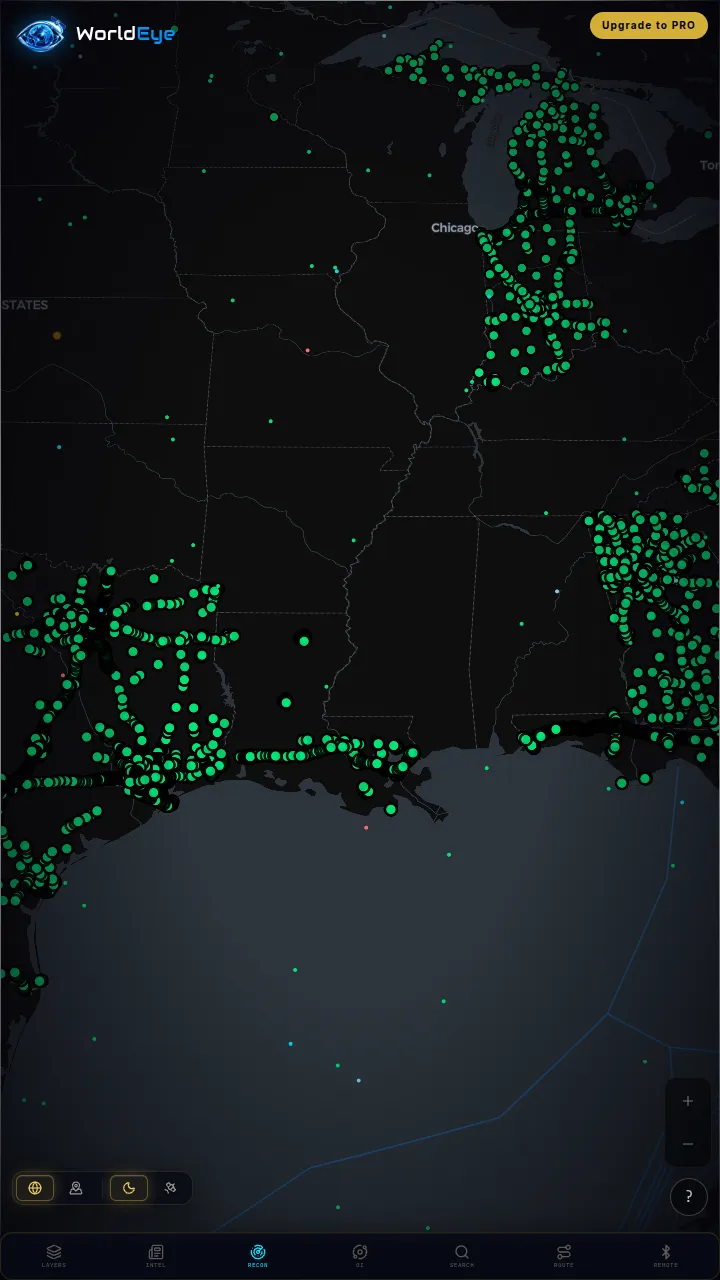
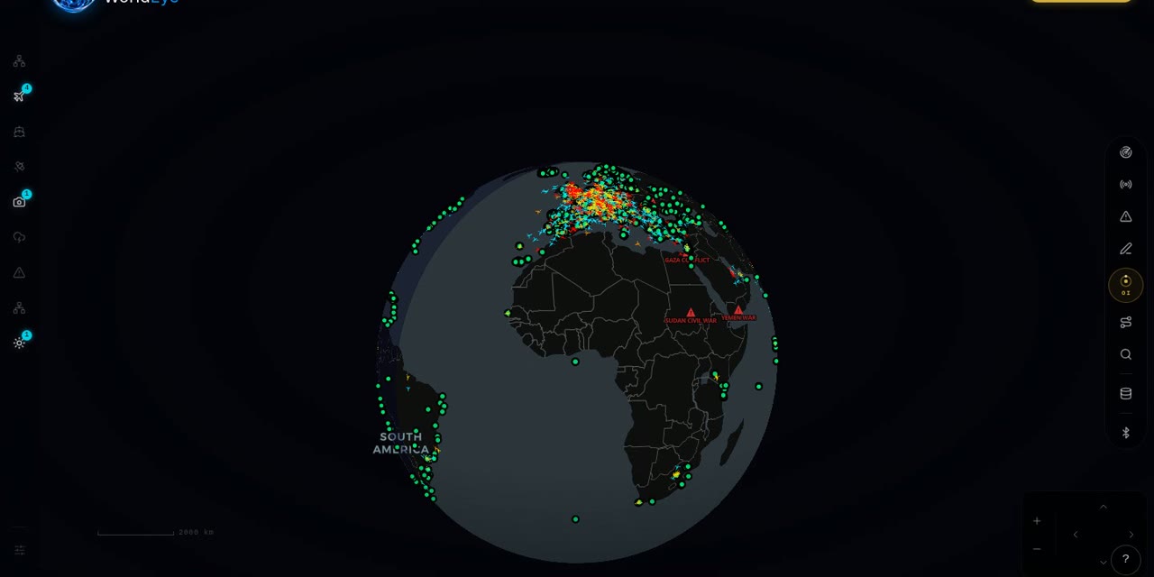
If Argos's account wall and ads are the friction there, and Zoom Earth's weather-only scope is the limit there, WorldEye is the middle path: a hosted 3D globe that opens free in any browser with no signup at all — 74,229 public cameras across 105 countries, live flights, ships, satellites, weather, earthquakes and wildfires in the same view, so you can watch a storm on the map and then open a live camera inside it. It doesn't record cameras like Argos or match Zoom Earth's 10-minute satellite cadence and radar depth, and its Pro tier ($7.99/week, $13.99/month or $74.99/year) buys an OSINT toolkit and intel feeds rather than camera archives.
Live on WorldEye right now
Real cameras from WorldEye's live catalogue — no account, no install. Tap any frame to open that exact camera on the globe.
Full WorldEye head-to-heads: WorldEye vs Zoom Earth
Argos Atlas vs Zoom Earth: quick answers
How live is Zoom Earth's imagery?
Live satellite images from NOAA GOES, JMA Himawari and EUMETSAT Meteosat are updated every 10 minutes, and HD images from NASA's Aqua and Terra are updated twice a day. Argos Atlas is live in a different sense: its cameras, flights and ships update in real time, with clouds and weather warnings as layers.
Does Zoom Earth have live cameras?
No. Zoom Earth is a weather and satellite tool — an interactive weather map and hurricane tracker. It has no public camera network. Argos Atlas claims 200,000+ public cameras in 190+ countries; for comparison, WorldEye's directory lists 74,229 public cameras.
Do I need an account for either tool?
No — both are free to start. Zoom Earth is free on the web and in its iOS/Android apps with no account required for basic use (an account is optional, mainly for carrying a Pro subscription across devices). Argos Atlas's live map is free too, but it requires a free account and shows ads with camera limits.
What does Zoom Earth Pro cost?
The official App Store listing shows two Zoom Earth Pro prices — $1.99 and $11.99 — but does not label which billing period each corresponds to, so the period for each is unverified. There is no separate pricing page on zoom.earth itself. Argos Atlas, by contrast, publishes full EUR pricing: OUTPOST at €15.99/month up to AGENCY at €1,049.99/month.
Which is better for hurricanes and storms?
Zoom Earth, for weather itself: 10-minute geostationary imagery, rain radar with nowcasting, forecast-model maps and hurricane tracking from NHC, JTWC, NRL and IBTrACS data. Argos includes clouds, official warnings and hurricane cones, but weather is one layer in a much broader live atlas.
Which records cameras?
Only Argos Atlas. From DISTRICT it records 15 cameras (150 on DIVISION) with a 24-hour scrubbable archive and downloadable clips. Zoom Earth has no cameras to record — its time dimension is animated satellite and radar imagery.
How we researched this comparison
Every row in the table above was checked against Argos Atlas’s and Zoom Earth’s official sites, documentation or published pricing — the sources are listed at the bottom of this page, and the comparison was last reviewed in October 2026. Where a capability couldn’t be confirmed from an official source, it is marked “Not verified” rather than guessed.
This page is published by WorldEye, so the head-to-head above is kept deliberately neutral: each product’s strengths are stated in its own terms, and WorldEye appears only in the labelled “another option” section. WorldEye’s own figures there are counted, not estimated — 74,229 public cameras in its live directory across 105 countries, and a free map (flights, satellites, ships, weather, earthquakes, wildfires, cameras and satellite imagery) with an optional Pro tier at $7.99/week, $13.99/month or $74.99/year.
Products change. If you spot a row that has gone stale, the sources below show exactly what each claim rests on.