WEATHER MAPS HEAD-TO-HEAD
Ventusky vs Zoom Earth (2026)
Ventusky and Zoom Earth are both free weather maps you open when something is happening outside — and they start from opposite ends of the same data. Ventusky is the forecast-model tool: clean animated maps of wind, rain and temperature drawn from ECMWF, GFS, ICON and GEM, including wind flows at different altitudes. Zoom Earth is the live-observation tool: satellite imagery updated every 10 minutes, rain radar with nowcasting and a dedicated hurricane tracker, with forecast layers from ICON and GFS underneath. Which one suits you depends on whether you read the forecast or watch the sky as it is now.
Ventusky looks forward: the deepest, cleanest read on what the models say is coming. Zoom Earth looks at now: live satellite and radar, refreshed every 10 minutes, built around storms in progress. Forecast readers start with Ventusky; storm-watchers start with Zoom Earth — most weather watchers end up keeping both.
Last reviewed: October 2026 · Sources listed at the bottom of this page
Quick facts
| Ventusky | Zoom Earth | |
|---|---|---|
| Model | Weather visualisation platform — free with optional premium | Interactive weather map and hurricane tracker — free with optional Pro |
| Maker | Not stated in the official sources checked | Neave Interactive Limited |
| Runs on | Web plus iOS and Android apps | Web plus iOS and Android apps |
| Free tier | Free access to the core weather maps | Full basic use free, no account required |
| Paid tier | Optional premium — no single public price list; prices vary by region and store | Zoom Earth Pro — $1.99 and $11.99 on the US App Store listing; billing period for each price unverified |
| Imagery and data | Forecast models ECMWF, GFS, ICON and GEM, plus radar, satellite and air-quality layers | Geostationary satellite every 10 minutes, ICON and GFS forecasts, NASA FIRMS fires |
Key differences at a glance
- Live satellite imagery updated every 10 minutesVentusky: PartialZoom Earth: YesZoom Earth updates geostationary imagery from GOES, Himawari and Meteosat every 10 minutes; Ventusky offers a satellite layer, but a 10-minute cadence was not verified from its official sources
- Rain radar with nowcastingVentusky: PartialZoom Earth: YesZoom Earth's radar shows rain and snow from ground-based Doppler radar in real time with radar nowcasting; Ventusky blends a radar layer, but a nowcasting feature was not verified
- Hurricane and tropical storm trackingVentusky: Not verifiedZoom Earth: YesZoom Earth tracks hurricanes in real time using NHC, JTWC, NRL and IBTrACS data; a dedicated Ventusky hurricane tracker was not verified from official sources
- Wildfire and heat-spot overlayVentusky: Not verifiedZoom Earth: YesZoom Earth shows active fires and heat spots updated daily with data from NASA FIRMS; an equivalent Ventusky overlay was not verified
What is Ventusky?
Ventusky visualises forecast-model data — wind, precipitation, temperature, pressure, clouds, snow and waves — as exceptionally clean animated maps, including wind flows at different altitudes. It draws on the ECMWF, GFS, ICON and GEM models (per its premium page) and adds radar, satellite and air-quality layers. Access is free with an optional premium tier; it is weather-only, deliberately, with no webcams, tracking or extras competing for attention.
What is Zoom Earth?
Zoom Earth, by Neave Interactive Limited, is an interactive weather map of the world and a real-time hurricane tracker, free on the web, iOS and Android. It shows near real-time satellite imagery — live images from NOAA GOES, JMA Himawari and EUMETSAT Meteosat geostationary satellites updated every 10 minutes, plus HD images updated twice a day from NASA polar-orbiting satellites Aqua and Terra — alongside rain radar with nowcasting, forecast maps from DWD ICON and NOAA GFS, hurricane tracking using NHC, JTWC, NRL and IBTrACS data, and an active fires overlay from NASA FIRMS. No account is required for basic use; an account is optional and lets you access a subscription across devices.
Ventusky vs Zoom Earth: feature comparison
Verified against official sources. “Not verified” means we couldn’t confirm it — not that it doesn’t exist.
FEATURE TALLY — FROM THE TABLE BELOW
Ventusky
6 yes · 3 partial · 0 no · 5 not verified
Zoom Earth
10 yes · 0 partial · 2 no · 2 not verified
A count of the rows in the verified table beneath — not a quality rating. The rows themselves, and what each product does best, matter more than the totals.
| Feature | Ventusky | Zoom Earth |
|---|---|---|
| Animated wind and weather mapsThe core of both products: animated forecast maps of wind, rain, temperature, pressure and more | Yes | Yes |
| Multiple forecast modelsVentusky: ECMWF, GFS, ICON and GEM (per its premium page). Zoom Earth: forecast data from DWD ICON and NOAA/NCEP/NWS GFS | Yes | Yes |
| Live satellite imagery updated every 10 minutesZoom Earth updates geostationary imagery from GOES, Himawari and Meteosat every 10 minutes; Ventusky offers a satellite layer, but a 10-minute cadence was not verified from its official sources | Partial | Yes |
| Rain radar with nowcastingZoom Earth's radar shows rain and snow from ground-based Doppler radar in real time with radar nowcasting; Ventusky blends a radar layer, but a nowcasting feature was not verified | Partial | Yes |
| Hurricane and tropical storm trackingZoom Earth tracks hurricanes in real time using NHC, JTWC, NRL and IBTrACS data; a dedicated Ventusky hurricane tracker was not verified from official sources | Not verified | Yes |
| Wildfire and heat-spot overlayZoom Earth shows active fires and heat spots updated daily with data from NASA FIRMS; an equivalent Ventusky overlay was not verified | Not verified | Yes |
| Air-quality layerVentusky adds an air-quality layer alongside its weather maps; an air-quality layer was not listed among Zoom Earth's official forecast layers checked | Yes | Not verified |
| Wind at different altitudesVentusky shows wind flows at different altitudes, a view aviation-minded users appreciate; altitude wind views were not verified for Zoom Earth | Yes | Not verified |
| Detailed forecast fields (humidity, dew point, wet-bulb)Zoom Earth lists precipitation, wind, gusts, temperature, feels-like, humidity, dew point, wet-bulb and pressure forecasts; Ventusky covers the core fields, with the full specialist set not verified | Partial | Yes |
| Free access without an accountVentusky is free with an optional premium tier; Zoom Earth needs no account for basic use — an account is optional | Yes | Yes |
| Mobile apps plus webBoth run on the web and as iOS and Android apps | Yes | Yes |
| Measure distance and area toolsZoom Earth offers measure distance and measure area tools on its web map; equivalent Ventusky tools were not verified from official sources | Not verified | Yes |
| Developer APINo public Zoom Earth API was found on its official pages, and its terms prohibit automated access such as scraping; no public Ventusky API was verified either | Not verified | No |
| Live public camerasZoom Earth has no camera network; a dedicated Ventusky camera network was not verified from official sources — neither is a camera product | Not verified | No |
Pricing: Ventusky vs Zoom Earth
Ventusky pricing
Free access with an optional premium option, billed via the web or the app stores. Ventusky does not publish a single public price list and prices vary by region and store, so we won't quote a figure we can't verify — check the premium page in your region.
Zoom Earth pricing
Free on the web, iOS and Android, with no account required for basic use. Zoom Earth Pro is listed under In-App Purchases on the official US App Store listing at $1.99 and $11.99 — that listing does not label which billing period each price corresponds to, so the period for each price is unverified. Its terms say subscriptions are billed on a periodic basis (e.g. monthly or annually), as specified at the time of purchase. No free trial for Pro was stated on the official pages checked.
Ventusky: pros and cons
- Exceptionally clean, legible animated weather maps
- Four global forecast models: ECMWF, GFS, ICON and GEM
- Wind flows at different altitudes for aviation-minded users
- Radar, satellite and air-quality layers alongside the models
- Free to use, with an optional premium tier
- No single public premium price list — prices vary by region and store
- Dedicated hurricane tracking was not verified from official sources
- No live camera network verified — it shows models, not ground truth
- No public developer API verified from official sources
Zoom Earth: pros and cons
- Satellite imagery updated every 10 minutes from GOES, Himawari and Meteosat
- Rain radar with nowcasting for short-term rain and snow
- Dedicated hurricane tracker using NHC, JTWC, NRL and IBTrACS data
- Wildfire heat spots from NASA FIRMS, plus twice-daily HD NASA imagery
- Free on web, iOS and Android with no account required for basic use
- Pro prices ($1.99 / $11.99) are listed without labelled billing periods
- Forecast depth is two models (ICON and GFS) — no ECMWF
- No public API — its terms prohibit scraping and automated access
- Weather-only: no cameras, flights, ships or other live layers
The verdict
Choose Ventusky if…
Choose Ventusky if you plan by the forecast — sailing, flying, hiking or trip planning over the next days — and want the clearest possible picture of wind, rain and temperature, including wind aloft, with the least interface between you and the models.
Choose Zoom Earth if…
Choose Zoom Earth if you watch weather as it happens — a hurricane approaching, a storm line crossing, smoke from a wildfire — and want live satellite, radar nowcasting and storm tracking in a simple free app.
Is Ventusky better than Zoom Earth?
For forecast depth, Ventusky is better: four global models, altitude wind and the cleanest presentation of the days ahead. For live conditions, Zoom Earth is better: 10-minute satellite imagery, radar nowcasting and best-in-class hurricane tracking, all free with no account. Start with the question you ask most — 'what is coming?' points to Ventusky, 'what is happening now?' points to Zoom Earth.
ANOTHER OPTION
Where WorldEye fits
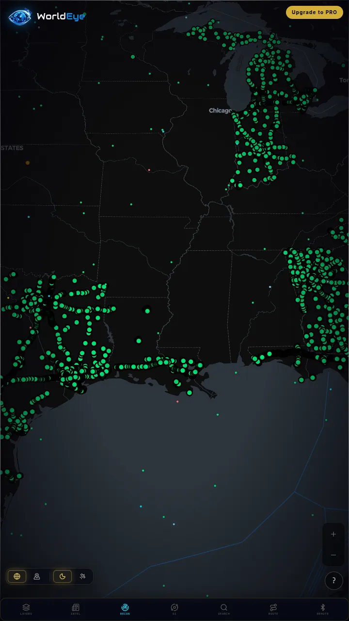
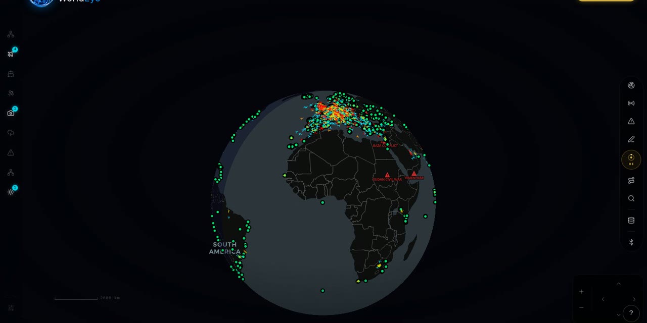
Neither Ventusky nor Zoom Earth shows you the ground itself — one shows model output, the other shows cloud tops. WorldEye adds the missing layer: a free 3D globe with 74,229 public cameras across 105 countries, so you can check the actual conditions in a place alongside live flights, ships, satellites, weather, earthquakes and wildfires, with a free tier and no signup. It is not a forecast-model platform and does not pretend to match either specialist on meteorological depth. Its optional Pro tier is $7.99/week · $13.99/month · $74.99/year.

Live on WorldEye right now
Real cameras from WorldEye's live catalogue — no account, no install. Tap any frame to open that exact camera on the globe.
Full WorldEye head-to-heads: WorldEye vs Ventusky · WorldEye vs Zoom Earth
Ventusky vs Zoom Earth: quick answers
Is Ventusky or Zoom Earth better for hurricanes?
Zoom Earth. It is a dedicated real-time hurricane tracker fed by NHC, JTWC, NRL and IBTrACS data, layered over satellite imagery updated every 10 minutes. A dedicated Ventusky hurricane tracker was not verified from its official sources — Ventusky's strength is general forecast maps.
Do Ventusky and Zoom Earth use the same weather models?
They overlap on two: both use NOAA's GFS and DWD's ICON. Ventusky also lists ECMWF and GEM on its premium page, giving it the broader model set; Zoom Earth builds its forecast layers from ICON and GFS and puts its weight on live satellite and radar instead.
Is Zoom Earth really live?
Near real-time, by its own description: live satellite images from NOAA GOES, JMA Himawari and EUMETSAT Meteosat are updated every 10 minutes, and its rain radar provides real-time detection with nowcasting. HD imagery from NASA's Aqua and Terra satellites is updated twice a day.
How much does Zoom Earth Pro cost?
The official US App Store listing shows Zoom Earth Pro at $1.99 and $11.99 under In-App Purchases, but it does not label which billing period each price corresponds to, so we do not state a period. Its terms say subscriptions are billed periodically (e.g. monthly or annually), as specified at the time of purchase.
Is Ventusky free?
Mostly — Ventusky is free to use, with an optional premium tier sold via the web and the app stores. It does not publish one single public price list, so exact prices vary by region and store.
Which shows what the weather actually looks like on the ground?
Neither — Ventusky shows forecast models and Zoom Earth shows satellite and radar from above. For ground truth, WorldEye's globe carries 74,229 public cameras alongside its weather layer, so you can look at real conditions in a place while a storm passes.
How we researched this comparison
Every row in the table above was checked against Ventusky’s and Zoom Earth’s official sites, documentation or published pricing — the sources are listed at the bottom of this page, and the comparison was last reviewed in October 2026. Where a capability couldn’t be confirmed from an official source, it is marked “Not verified” rather than guessed.
This page is published by WorldEye, so the head-to-head above is kept deliberately neutral: each product’s strengths are stated in its own terms, and WorldEye appears only in the labelled “another option” section. WorldEye’s own figures there are counted, not estimated — 74,229 public cameras in its live directory across 105 countries, and a free map (flights, satellites, ships, weather, earthquakes, wildfires, cameras and satellite imagery) with an optional Pro tier at $7.99/week, $13.99/month or $74.99/year.
Products change. If you spot a row that has gone stale, the sources below show exactly what each claim rests on.