WEATHER MAPS HEAD-TO-HEAD
Zoom Earth vs Windy (2026)
Zoom Earth and Windy are both free weather maps built on satellite imagery and global forecast models — and they make opposite bets about what a weather map should be. Zoom Earth, by Neave Interactive, is the focused specialist: satellite imagery every 10 minutes, rain radar with nowcasting and a best-in-class hurricane tracker, in a clean interface with almost nothing to configure. Windy is the maximalist platform: 50+ animated layers, multiple forecast models including ECMWF, detailed point forecasts, alerts and a webcam layer. Which one suits you depends on whether you check the weather or read it.
Zoom Earth is the glance — a focused satellite and radar map that answers 'what is happening now?' in seconds. Windy is the deep read — a professional forecast platform that answers 'what happens next, in detail?' The first is free and simple; the second is deep, and cheap to unlock in full.
Last reviewed: October 2026 · Sources listed at the bottom of this page
Quick facts
| Zoom Earth | Windy | |
|---|---|---|
| Model | Hosted website and apps — free, with an optional Pro subscription | Hosted website and apps — free tier, with an optional Premium subscription |
| Maker | Neave Interactive | Windy |
| Runs on | Web, iOS and Android | Web, iOS and Android |
| Free tier | The full weather map, satellite imagery and radar | The core animated weather maps |
| Paid tier | Zoom Earth Pro — $1.99 and $11.99 price points via the app stores (billing period not labelled) | Windy Premium — about $35/year, no free trial |
| Ground view | Satellite imagery every 10 minutes; no camera network | A webcam layer on the map, alongside its weather layers |
Key differences at a glance
- Layer catalogue depthZoom Earth: PartialWindy: YesWindy offers 50+ weather layers; Zoom Earth's set is deliberately focused on satellite, radar and core forecast fields
- Wildfire and heat spotsZoom Earth: YesWindy: Not verifiedZoom Earth shows active fires and heat spots updated daily with data from NASA FIRMS; a FIRMS-based Windy fire layer was not verified from the Windy sources checked
- Detailed point forecastsZoom Earth: PartialWindy: YesZoom Earth shows forecasts for your location through its forecast maps; Windy adds detailed point forecasts with meteograms and airgrams for aviation and sailing
- Webcam layerZoom Earth: NoWindy: YesWindy aggregates public webcams on its map; Zoom Earth has no camera network — satellite imagery instead of ground cameras
What is Zoom Earth?
Zoom Earth is an interactive weather map and real-time hurricane tracker by Neave Interactive. It shows near real-time satellite imagery updated every 10 minutes from NOAA GOES, JMA Himawari and EUMETSAT Meteosat geostationary satellites, HD imagery updated twice a day from NASA's Aqua and Terra satellites, rain radar with nowcasting, and forecast maps for rain, wind, temperature, pressure and more from the ICON and GFS models. It runs free on the web and in iOS and Android apps, with extra features behind Zoom Earth Pro. It is a weather and satellite tool — not a camera network, and it does not track flights or ships.
What is Windy?
Windy.com visualises forecast-model weather as animated map layers — wind, rain, temperature, pressure, clouds, waves and more — drawn from ECMWF, GFS, ICON and other models, with radar and satellite layers, detailed point forecasts, meteograms and airgrams, a hurricane tracker and a layer of public webcams. A free tier covers the core maps; Windy Premium unlocks higher-resolution data, longer forecast ranges and extra detail. Developer APIs are sold separately from the consumer app.
Zoom Earth vs Windy: feature comparison
Verified against official sources. “Not verified” means we couldn’t confirm it — not that it doesn’t exist.
FEATURE TALLY — FROM THE TABLE BELOW
Zoom Earth
8 yes · 2 partial · 4 no
Windy
11 yes · 2 partial · 0 no · 1 not verified
A count of the rows in the verified table beneath — not a quality rating. The rows themselves, and what each product does best, matter more than the totals.
| Feature | Zoom Earth | Windy |
|---|---|---|
| Near real-time satellite imageryZoom Earth's core specialty: GOES, Himawari and Meteosat imagery every 10 minutes, plus twice-daily HD from NASA Aqua and Terra. Windy offers a satellite layer alongside radar and model data | Yes | Yes |
| Rain radarZoom Earth's radar shows rain and snow detected by ground-based Doppler radar with instant nowcasting; Windy blends radar into its map layers | Yes | Yes |
| Hurricane and storm trackingZoom Earth follows hurricanes from development to category 5 using NHC, JTWC, NRL and IBTrACS data; Windy has a dedicated hurricane tracker | Yes | Yes |
| Forecast model mapsZoom Earth maps precipitation, wind, temperature, pressure, humidity and more from ICON and GFS. Windy draws on ECMWF, GFS, ICON and more, including regional models | Yes | Yes |
| Layer catalogue depthWindy offers 50+ weather layers; Zoom Earth's set is deliberately focused on satellite, radar and core forecast fields | Partial | Yes |
| Wildfire and heat spotsZoom Earth shows active fires and heat spots updated daily with data from NASA FIRMS; a FIRMS-based Windy fire layer was not verified from the Windy sources checked | Yes | Not verified |
| Detailed point forecastsZoom Earth shows forecasts for your location through its forecast maps; Windy adds detailed point forecasts with meteograms and airgrams for aviation and sailing | Partial | Yes |
| Webcam layerWindy aggregates public webcams on its map; Zoom Earth has no camera network — satellite imagery instead of ground cameras | No | Yes |
| Weather and storm alertsZoom Earth includes storm alerts; Windy offers weather alerts for favourite locations | Yes | Yes |
| Aviation and marine detailWindy offers airgrams, waves and sport-specific detail for sailing and flying; no equivalent Zoom Earth tool was verified from official sources | No | Yes |
| Mobile appsBoth offer iOS and Android apps plus the web | Yes | Yes |
| Free access without signupZoom Earth needs no account for basic use — an account is optional; Windy's free tier covers its core maps | Yes | Yes |
| 3D globe viewZoom Earth is a flat interactive map; Windy is primarily a 2D layered map with limited 3D presentation | No | Partial |
| Developer APINo public Zoom Earth API was found, and its terms prohibit scraping and bulk downloading; Windy's APIs are sold separately from the consumer app (Map Forecast API) | No | Partial |
Pricing: Zoom Earth vs Windy
Zoom Earth pricing
Zoom Earth is free for basic use on the web and in its iOS and Android apps, with no account required. Zoom Earth Pro adds more features through auto-renewable subscriptions sold via the app stores: the US App Store listing shows Pro price points of $1.99 and $11.99, but it does not label which billing period each price corresponds to, so we won't assign one — its terms say subscriptions are billed periodically, as specified at the time of purchase. No free trial of Pro was stated on the official pages checked.
Windy pricing
Generous free tier. Windy Premium costs about $35/year (community-confirmed pricing for 2026; sold as an auto-renewing subscription or a one-time payment for a year) and unlocks higher-resolution data, longer ranges and extra features. Windy confirms there is no free trial of Premium. Developer APIs are priced separately — the Map Forecast API's Professional tier is €990/year.
Zoom Earth: pros and cons
- Satellite imagery updated every 10 minutes from three geostationary fleets
- Best-in-class hurricane tracking from NHC, JTWC, NRL and IBTrACS data
- Rain radar with nowcasting, plus ICON and GFS forecast maps
- Free with no account needed; well-rated iOS and Android apps
- Clean, focused interface — almost nothing to configure
- No webcam layer — satellite imagery only, no ground cameras
- A focused layer set beside Windy's 50+ layers
- No public API; its terms prohibit scraping and bulk downloading
- Pro billing period is not labelled on the App Store listing
- No detailed point-forecast tools like meteograms or airgrams verified
Windy: pros and cons
- Deepest layer catalogue here — 50+ weather layers
- Multiple models including ECMWF, plus regional high-resolution models
- Meteograms, airgrams and detailed point forecasts
- Weather alerts, a webcam layer and a large community
- Premium is about $35/year for the full platform
- Interface is dense — a cockpit of toggles beside Zoom Earth's focus
- Premium is an annual commitment; there is no free trial
- Developer APIs are priced separately and steeply for professionals
- Primarily a 2D map, despite the depth of its layers
The verdict
Choose Zoom Earth if…
Choose Zoom Earth if you want the weather at a glance — 10-minute satellite imagery, radar, wildfire heat spots and serious hurricane tracking — open in seconds on any device, free, with no install and almost nothing to learn.
Choose Windy if…
Choose Windy if you read weather seriously — sailing, flying, storm-watching or trip planning — and want the deepest layers, model choice, point-forecast detail, alerts and webcams in one professional platform.
Is Zoom Earth better than Windy?
For simplicity, Zoom Earth is better: a focused satellite-and-radar map, free, with 10-minute imagery and serious hurricane tracking and almost nothing to learn. For depth, Windy is better: more layers, more models, detailed point forecasts, alerts, webcams and a community, for about $35 a year. Occasional weather-checkers and storm-watchers should start with Zoom Earth; sailors, pilots and other serious readers usually end up on Windy.
ANOTHER OPTION
Where WorldEye fits
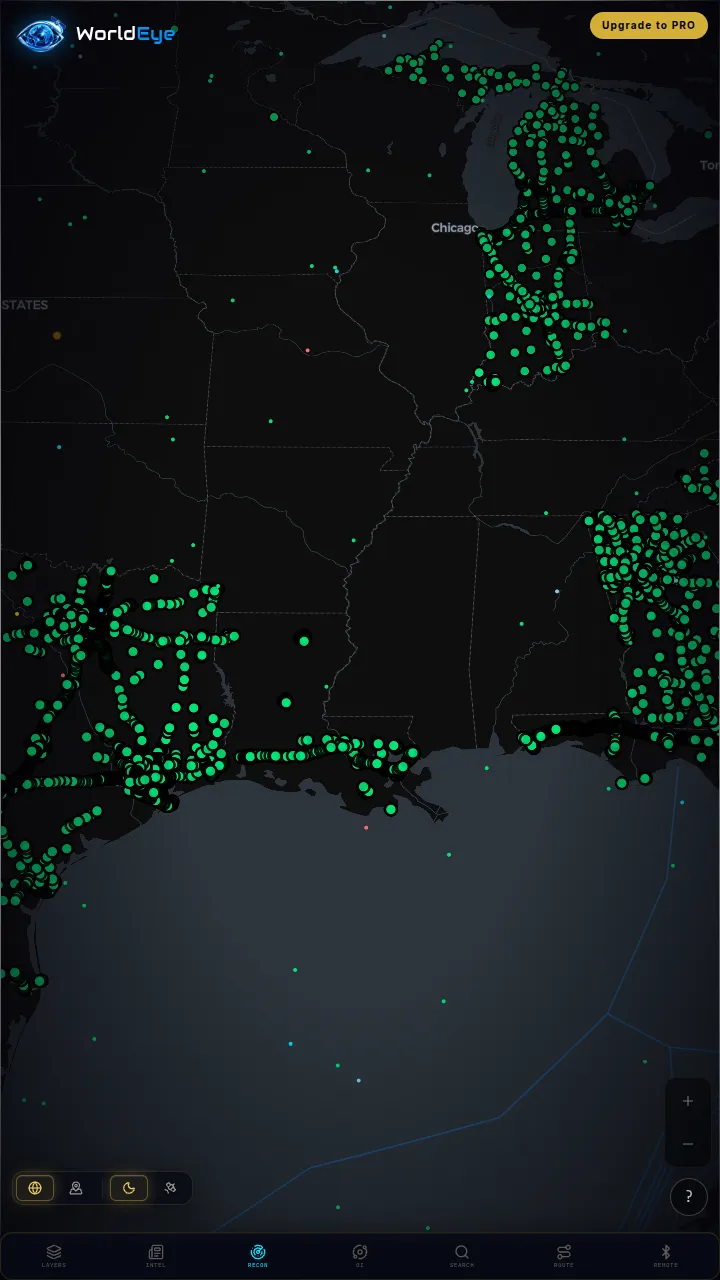
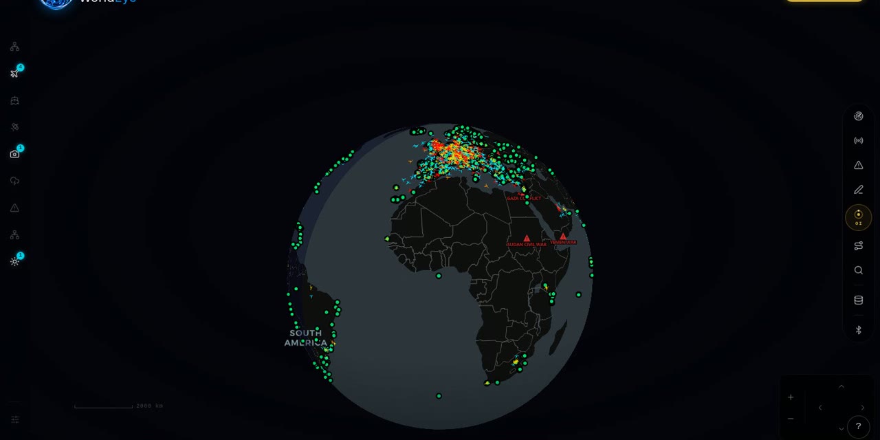
WorldEye treats weather as one layer among many: its free 3D globe carries a live weather layer alongside live flights, satellites, ships, earthquakes, wildfires and 74,229 public cameras across 105 countries, with no signup. It is not a forecast-model tool and doesn't pretend to compete with either specialist on meteorological depth — its satellite cadence does not match Zoom Earth's, and its layers do not match Windy's — it's the place to see weather in context with everything else moving on the planet. An optional Pro tier ($7.99/week, $13.99/month or $74.99/year) adds the OSINT toolkit and intel feeds.

Live on WorldEye right now
Real cameras from WorldEye's live catalogue — no account, no install. Tap any frame to open that exact camera on the globe.
Full WorldEye head-to-heads: WorldEye vs Zoom Earth · WorldEye vs Windy
Zoom Earth vs Windy: quick answers
Is Zoom Earth or Windy better?
Neither, in the abstract. Zoom Earth is the simpler, faster check — free satellite imagery every 10 minutes, radar and hurricane tracking with no account. Windy is the deeper platform — 50+ layers, more models, meteograms and airgrams, alerts and webcams, with Premium at about $35/year. Casual watchers usually prefer Zoom Earth; serious weather readers usually prefer Windy.
Is Zoom Earth free?
Yes for basic use — the web map and the iOS and Android apps are free with no account required. Zoom Earth Pro adds more features through auto-renewable subscriptions sold via the app stores; the US App Store listing shows Pro price points of $1.99 and $11.99, but does not label which billing period each corresponds to.
How much is Windy Premium?
Windy Premium costs about $35/year (community-confirmed 2026 pricing; sold as an auto-renewing subscription or a one-time year). There is no free trial of Premium. It unlocks higher-resolution and longer-range data plus extra layers. Windy's developer APIs are priced separately — the Map Forecast API's Professional tier is €990/year.
Do Zoom Earth and Windy use the same weather models?
Partly. Both draw on ICON and GFS; Zoom Earth's forecast layers are continually updated from DWD ICON and NOAA/NCEP/NWS GFS. Windy adds ECMWF at the centre plus other global and regional models, and presents them across a much larger layer catalogue.
Which has webcams, Zoom Earth or Windy?
Windy. It has a webcam layer aggregating public webcams on its map. Zoom Earth has no camera network at all — it shows satellite imagery instead of ground cameras. For comparison, WorldEye's globe carries 74,229 public cameras alongside its weather layer.
Which updates its satellite imagery fastest?
Zoom Earth is built around it: live satellite images from NOAA GOES, JMA Himawari and EUMETSAT Meteosat are updated every 10 minutes, with HD images twice a day from NASA's Aqua and Terra. Windy also has a satellite layer alongside its radar and model data, but the 10-minute geostationary feed is Zoom Earth's headline feature.
How we researched this comparison
Every row in the table above was checked against Zoom Earth’s and Windy’s official sites, documentation or published pricing — the sources are listed at the bottom of this page, and the comparison was last reviewed in October 2026. Where a capability couldn’t be confirmed from an official source, it is marked “Not verified” rather than guessed.
This page is published by WorldEye, so the head-to-head above is kept deliberately neutral: each product’s strengths are stated in its own terms, and WorldEye appears only in the labelled “another option” section. WorldEye’s own figures there are counted, not estimated — 74,229 public cameras in its live directory across 105 countries, and a free map (flights, satellites, ships, weather, earthquakes, wildfires, cameras and satellite imagery) with an optional Pro tier at $7.99/week, $13.99/month or $74.99/year.
Products change. If you spot a row that has gone stale, the sources below show exactly what each claim rests on.
Sources
- Zoom Earth — official site
- Zoom Earth — official terms of service
- Zoom Earth — official App Store listing (Neave Interactive)
- Zoom Earth — official Google Play listing (Neave Interactive)
- Windy.com — official site
- Windy Community — Premium features, annual-only sale and no free trial (official staff posts)
- Windy Map Forecast API — official pricing