SATELLITE IMAGERY HEAD-TO-HEAD
Zoom Earth vs Google Earth (2026)
Zoom Earth and Google Earth both start with a view of the planet from space — and then go in opposite directions. Zoom Earth, by Neave Interactive, is a live weather instrument: satellite imagery updated every 10 minutes, rain radar, forecast maps and a hurricane tracker, free on the web and in mobile apps. Google Earth is the great archive: photorealistic 3D cities, Street View and historical imagery reaching back decades, completely free — but showing the world as it was photographed, not as it is now. One answers 'what is happening?', the other 'what is this place like?'
Zoom Earth is the live instrument — the planet's weather as it happens, refreshed every 10 minutes. Google Earth is the archive — the planet in unmatched 3D detail, as it was. Pick by tense: now, or then.
Last reviewed: October 2026 · Sources listed at the bottom of this page
Quick facts
| Zoom Earth | Google Earth | |
|---|---|---|
| Model | Free weather map and storm tracker, web and apps | Free virtual globe, web and apps |
| Maker | Neave Interactive Limited | |
| Imagery | Live — geostationary updates every 10 minutes, HD twice a day | Archival — days to years old depending on the place |
| Free tier | The full map and apps free, no account required | Everything — there is no paid tier |
| Paid tier | Zoom Earth Pro — $1.99 and $11.99 price points listed (billing period unverified) | None — Google Earth Pro has been free since 2015 |
| Signature strength | Rain radar, hurricane tracking and forecast maps | Photoreal 3D cities, Street View and historical imagery |
Key differences at a glance
- Live satellite imagery updated every 10 minutesZoom Earth: YesGoogle Earth: NoZoom Earth updates geostationary imagery from GOES, Himawari and Meteosat every 10 minutes; Google Earth's imagery is archival, not live
- Photorealistic 3D globe with 3D citiesZoom Earth: NoGoogle Earth: YesZoom Earth is a 2D interactive map; Google Earth's 3D cities, buildings and terrain are the reference implementation
- Street-level imageryZoom Earth: NoGoogle Earth: YesStreet View is integrated into Google Earth; Zoom Earth has no ground-level imagery layer
- Rain radar with nowcastingZoom Earth: YesGoogle Earth: NoZoom Earth's radar map shows rain and snow from ground-based Doppler radar in real time with short-term nowcasting; Google Earth has no rain radar
What is Zoom Earth?
Zoom Earth is an interactive weather map of the world and a real-time hurricane tracker, made by Neave Interactive Limited. It shows near real-time satellite imagery from the NOAA GOES, JMA Himawari and EUMETSAT Meteosat geostationary satellites, updated every 10 minutes, plus HD imagery updated twice a day from NASA's polar-orbiting Aqua and Terra satellites. Around that imagery it layers rain radar with nowcasting, forecast maps for wind, temperature, pressure and more from the DWD ICON and NOAA GFS models, storm tracking using NHC, JTWC, NRL and IBTrACS data, and wildfire heat spots from NASA FIRMS. It runs on the web and as iOS and Android apps, free with an optional Zoom Earth Pro subscription.
What is Google Earth?
Google Earth is Google's free virtual globe: high-resolution satellite and aerial imagery, photorealistic 3D cities and terrain, Street View at ground level, and a historical-imagery archive reaching back decades for many places. It adds measurement and drawing tools, KML/KMZ data import and sharing, guided Voyager tours, and Google Earth Studio for cinematic animations. Google Earth Pro — once $399/year — has been free since 2015, and there are no paid tiers. Everything in it is archival: the imagery shows the world as it was when it was photographed, days to years ago depending on the place, not live conditions.
Zoom Earth vs Google Earth: feature comparison
Verified against official sources. “Not verified” means we couldn’t confirm it — not that it doesn’t exist.
FEATURE TALLY — FROM THE TABLE BELOW
Zoom Earth
9 yes · 0 partial · 4 no · 1 not verified
Google Earth
7 yes · 2 partial · 5 no
A count of the rows in the verified table beneath — not a quality rating. The rows themselves, and what each product does best, matter more than the totals.
| Feature | Zoom Earth | Google Earth |
|---|---|---|
| Live satellite imagery updated every 10 minutesZoom Earth updates geostationary imagery from GOES, Himawari and Meteosat every 10 minutes; Google Earth's imagery is archival, not live | Yes | No |
| Photorealistic 3D globe with 3D citiesZoom Earth is a 2D interactive map; Google Earth's 3D cities, buildings and terrain are the reference implementation | No | Yes |
| Street-level imageryStreet View is integrated into Google Earth; Zoom Earth has no ground-level imagery layer | No | Yes |
| Rain radar with nowcastingZoom Earth's radar map shows rain and snow from ground-based Doppler radar in real time with short-term nowcasting; Google Earth has no rain radar | Yes | No |
| Hurricane and tropical storm trackingZoom Earth tracks storms from development to category 5 using NHC, JTWC, NRL and IBTrACS data; Google Earth has no storm tracker | Yes | No |
| Weather forecast maps (wind, temperature, pressure)Zoom Earth offers full forecast-model maps from DWD ICON and NOAA GFS; Google Earth has a real-time cloud layer but is not a forecast platform | Yes | Partial |
| Historical imagery archiveGoogle Earth's archive reaches back decades for many places; a comparable historical archive is not stated on Zoom Earth's official pages checked | Not verified | Yes |
| Wildfire and heat-spot overlayZoom Earth shows active fires and heat spots updated daily with NASA FIRMS data; Google Earth has no fire layer | Yes | No |
| HD imagery updated twice a dayZoom Earth's HD images come from NASA's polar-orbiting Aqua and Terra satellites twice a day; Google Earth does not refresh imagery on a twice-daily cycle | Yes | No |
| Guided tours and place storytellingGoogle Earth's Voyager tours and Earth Studio animations are built for exploring and presenting places; Zoom Earth is a working weather map | No | Yes |
| Measure distance and area toolsBoth offer measurement tools — Zoom Earth on its web map, Google Earth across its globe and Pro tools | Yes | Yes |
| Mobile apps (iOS and Android)Both have official iOS and Android apps as well as a web version | Yes | Yes |
| Free to use with no accountA Zoom Earth account is optional and a Google account is optional for saving places; neither is required for basic use | Yes | Yes |
| Public APINo public Zoom Earth API was found, and its terms prohibit automated access; Google Earth itself has no consumer API — Earth Engine and Earth Studio are separate tools | No | Partial |
Pricing: Zoom Earth vs Google Earth
Zoom Earth pricing
Free on the web and in the apps, with an optional Zoom Earth Pro subscription sold through the app stores. The official US App Store listing checked on 2026-10-29 shows two Zoom Earth Pro price points — $1.99 and $11.99 — but does not label which billing period each price corresponds to, so the billing period for each is unverified and is not stated here. Its Terms of Service say subscriptions are billed on a periodic basis (e.g. monthly or annually), as specified at the time of purchase. No free trial for Pro was stated on the official pages checked.
Google Earth pricing
Completely free — Google Earth Pro (once $399/year) has been free since 2015. No paid tiers, no subscriptions; a Google account is optional, needed only for saving places and projects.
Zoom Earth: pros and cons
- Live satellite imagery updated every 10 minutes
- Rain radar with nowcasting and hurricane tracking built in
- Full forecast maps — wind, temperature, pressure and more
- Free on web, iOS and Android with no account required
- Wildfire heat spots from NASA FIRMS, updated daily
- Flat 2D map — no 3D cities, terrain globe or Street View
- Pro billing periods are not labelled on its App Store listing
- No public API — its terms prohibit automated access
- No historical imagery archive comparable to Google Earth's
Google Earth: pros and cons
- Completely free, including the formerly $399/year Pro
- Most detailed photorealistic 3D cities anywhere
- Street View integrated at ground level
- Historical imagery archive reaching back decades
- Measurement, drawing and KML/KMZ tools, plus Earth Studio
- Imagery is archival — never live, days to years old
- No rain radar, hurricane tracker or forecast maps
- No live flights, ships, cameras or real-time events
- No consumer API for Google Earth itself
The verdict
Choose Zoom Earth if…
Choose Zoom Earth if you watch the weather — tracking a hurricane, checking live rain radar, following wildfire smoke, or seeing today's satellite view of your region, on the web or in the mobile apps.
Choose Google Earth if…
Choose Google Earth if you explore places — checking a neighbourhood, a coastline or a building site in 3D, walking streets, measuring land, or watching a familiar place change across decades of imagery.
Is Zoom Earth better than Google Earth?
They answer different questions. Zoom Earth is better for weather in the present tense: live satellite imagery every 10 minutes, rain radar, forecast maps and hurricane tracking, free with an optional Pro subscription. Google Earth is better for places in the past tense: photoreal 3D cities, Street View and decades of historical imagery, completely free. If you only keep one bookmark, keep the one matching your question — storm-watchers keep Zoom Earth, place-explorers keep Google Earth, and many people keep both.
ANOTHER OPTION
Where WorldEye fits
Neither tool shows the ground itself, live. WorldEye takes that third position: a free 3D globe that opens in any browser with no signup — 74,229 public cameras across 105 countries, alongside live flights, ships, satellites, weather, earthquakes and wildfires in the same view. It does not match Zoom Earth's radar and forecast depth or Google Earth's 3D archive, and it does not claim to; it is the live-planet view. Its optional Pro tier is $7.99/week, $13.99/month or $74.99/year.
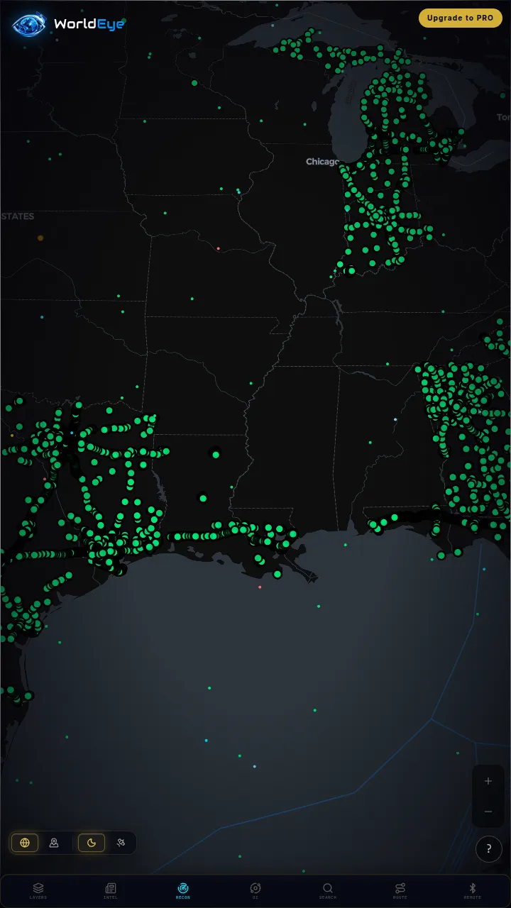
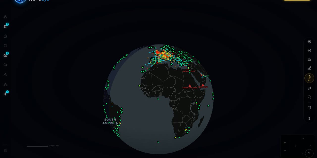

Live on WorldEye right now
Real cameras from WorldEye's live catalogue — no account, no install. Tap any frame to open that exact camera on the globe.
Full WorldEye head-to-heads: WorldEye vs Zoom Earth · WorldEye vs Google Earth
Zoom Earth vs Google Earth: quick answers
Is Zoom Earth live and is Google Earth live?
Zoom Earth is near-live: its satellite images from NOAA GOES, JMA Himawari and EUMETSAT Meteosat are updated every 10 minutes, with HD images from NASA Aqua and Terra twice a day. Google Earth is not live — its imagery is archival, days to years old depending on the place.
Is Google Earth really free?
Yes — Google Earth is completely free, including Google Earth Pro, which cost $399/year until Google made it free in 2015. There are no paid tiers or subscriptions, and a Google account is optional.
How much does Zoom Earth Pro cost?
Zoom Earth's official US App Store listing shows two Pro price points, $1.99 and $11.99, but does not label which billing period each corresponds to — so the period for each price is unverified. The app itself is free, and no Pro free trial was stated on the official pages checked.
Which is better for tracking a hurricane, Zoom Earth or Google Earth?
Zoom Earth, by design: it is a real-time hurricane tracker using the latest data from NHC, JTWC, NRL and IBTrACS, with live satellite imagery and radar around the storm. Google Earth has no storm tracking or live weather layers.
Does Zoom Earth have 3D cities or Street View like Google Earth?
No. Zoom Earth is a flat 2D weather map. Photorealistic 3D cities, terrain and Street View are Google Earth's signature strengths, and Zoom Earth offers no equivalent.
Do either Zoom Earth or Google Earth show live cameras?
No — neither has a live camera network. Zoom Earth shows the planet from satellites and radar; Google Earth shows archived imagery and Street View photographs. For live ground-level views, a camera globe such as WorldEye (74,229 public cameras, free with no signup) is the complementary tool.
How we researched this comparison
Every row in the table above was checked against Zoom Earth’s and Google Earth’s official sites, documentation or published pricing — the sources are listed at the bottom of this page, and the comparison was last reviewed in October 2026. Where a capability couldn’t be confirmed from an official source, it is marked “Not verified” rather than guessed.
This page is published by WorldEye, so the head-to-head above is kept deliberately neutral: each product’s strengths are stated in its own terms, and WorldEye appears only in the labelled “another option” section. WorldEye’s own figures there are counted, not estimated — 74,229 public cameras in its live directory across 105 countries, and a free map (flights, satellites, ships, weather, earthquakes, wildfires, cameras and satellite imagery) with an optional Pro tier at $7.99/week, $13.99/month or $74.99/year.
Products change. If you spot a row that has gone stale, the sources below show exactly what each claim rests on.